The channel and many other landmarks in the area are named after the Māori oral traditions of Kupe, a semi-legendary seafarer from Hawaiki, the traditional Māori place of origin, who explored New Zealand sometime in the thirteenth century.
While exploring New Zealand, Kupe discovered the channel. In it he met the giant octopus Te Wheke-a-Muturangi, a creature he had fought previously during his voyage. A fierce battle ensued, with Kupe and his crew hacking at Whekenui’s tentacles with weapons.
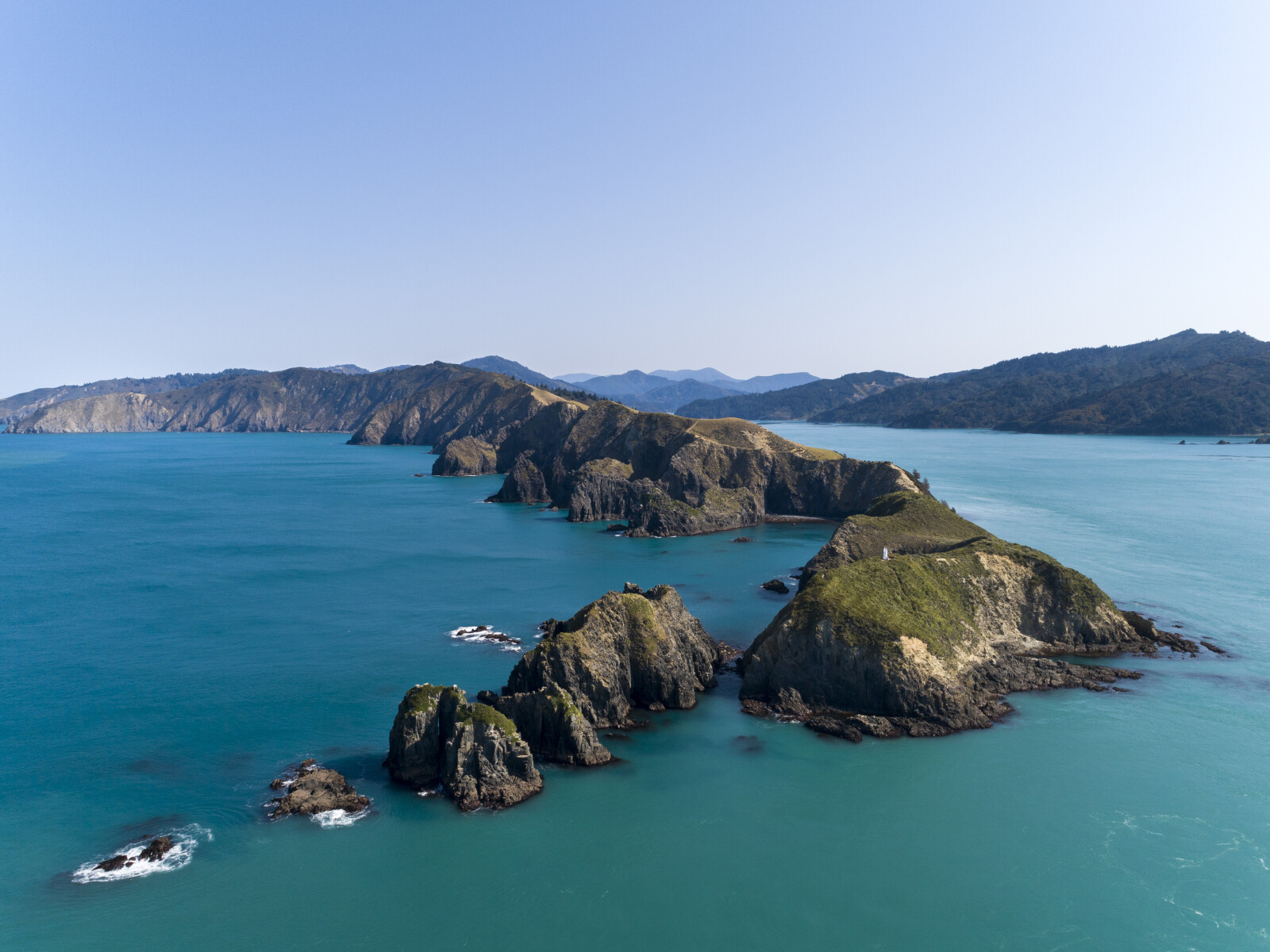
The giant octopus was finally killed with a massive downwards blow to the head, known as an arapaoa. The death of Whekenui has been commemorated in the naming of several local landmarks, including Whekenui Bay, the location of the creature’s death, and Arapaoa Island, the island separated from the South Island by the channel itself.
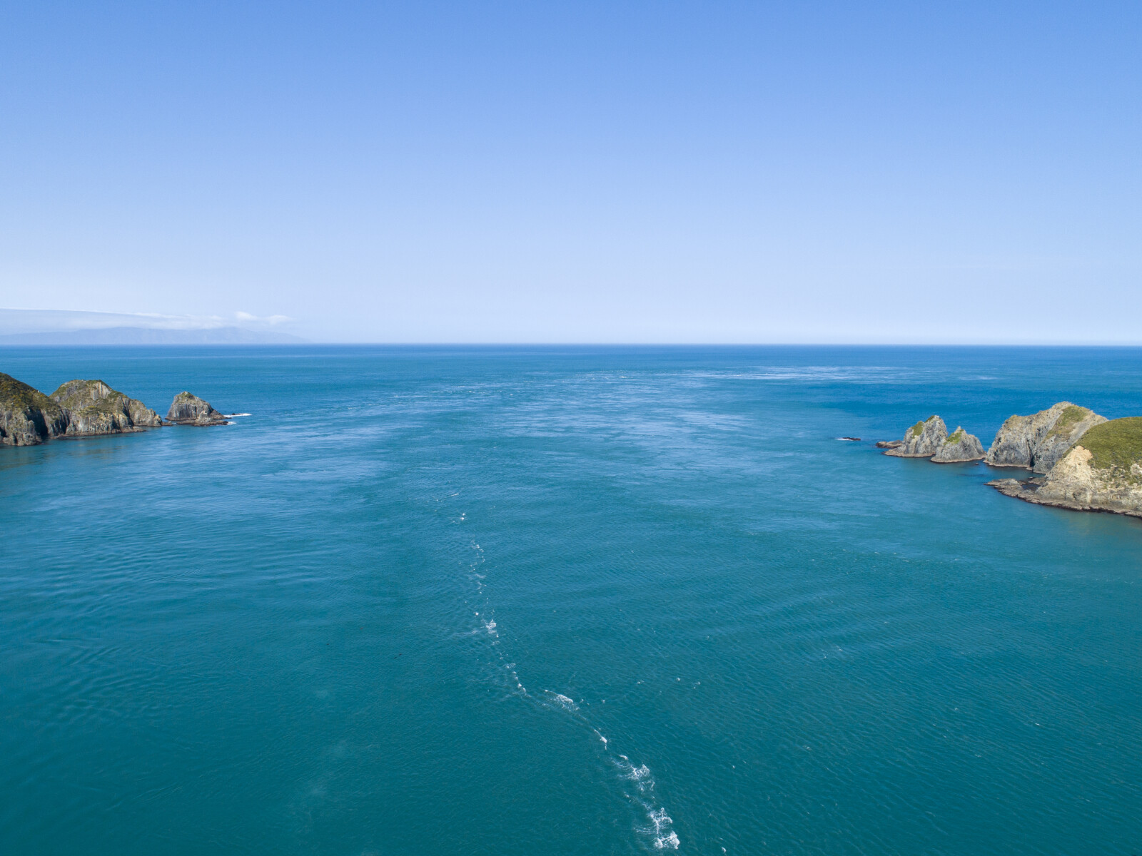
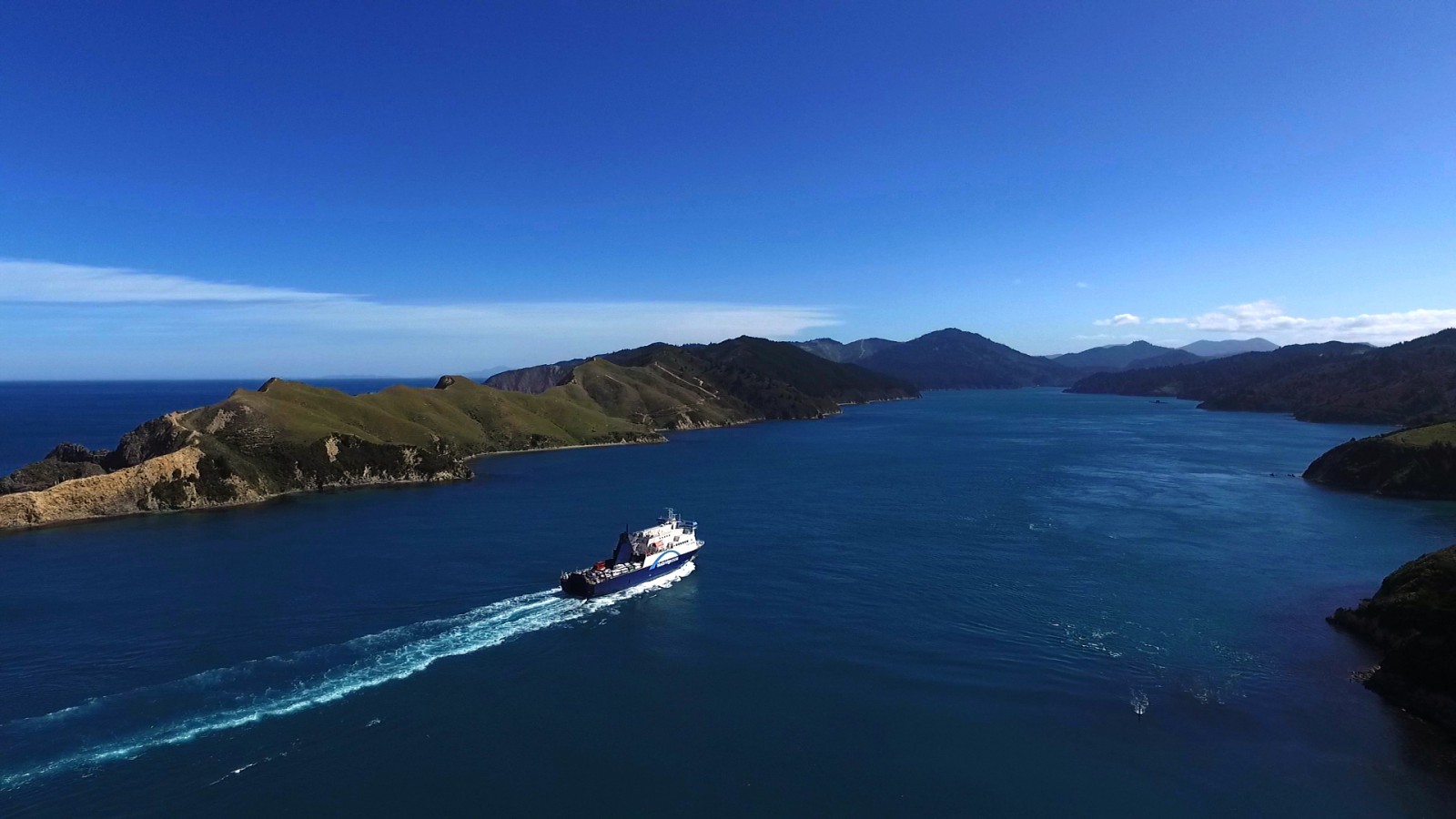
The channel is also named for the legend, its Māori name, Kura Te Au, means the channel red with blood. While oral tradition attributes the red hue of the water to the blood of the slain octopus, scientists have determined that the red tone of the water in the channel is due to the high density of krill and plankton in the area.1
Captain Cook was the first European to explore Kura Te Au in 1774, when he sailed out as far as the entrance. After Cook's visits, few European ships entered the Sounds until the arrival of the whalers and in 1839, the New Zealand Company ship, the Tory. The Tory spent a significant amount of time in Kura Te Au visiting bays such as Te Awaiti to gather information about land ownership.
It was following this visit that the Europeans named Kura Te Au, Tory Channel.2
From the late 1820s until the 1964, the entrance to Tory Channel/Kura Te Au was closely associated with the whaling industry. John ‘Jacky’ Guard is believed to have established the first whaling station at Te Awaiti Bay in 1827 and a number of other early whalers and traders, including John ‘Jacky’ Love, Richard ‘Dicky’ Barrett and Joseph Thoms were residents in the area.
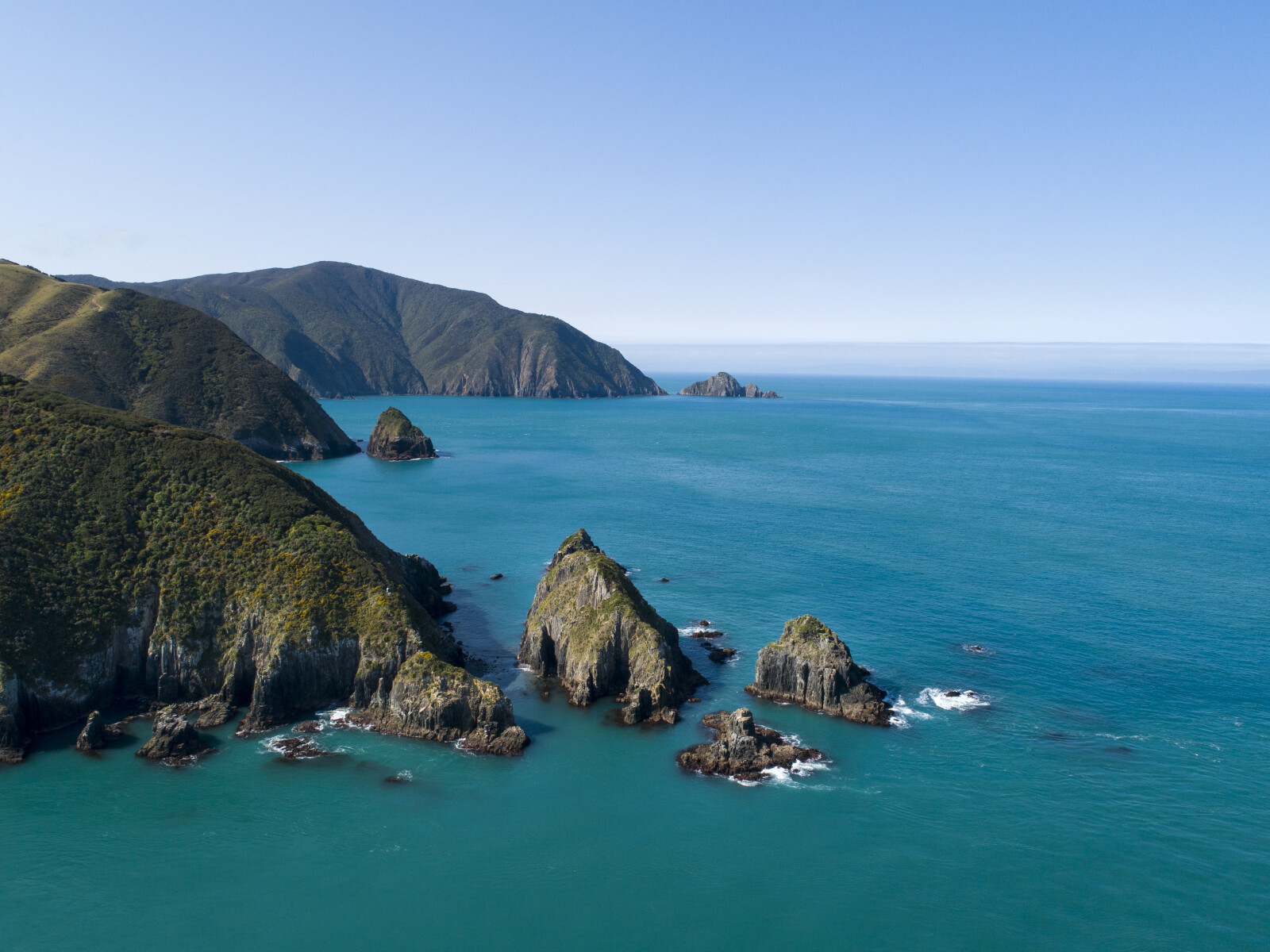
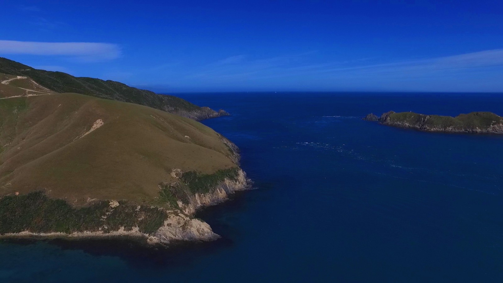
While the whaling infrastructure and huts were located in the bays, a lookout was maintained on West Head, one of the headlands at the channel entrance. When whales were sighted from the lookout an alarm was given and the whalers would set out into the Cook Strait/Te Moana-o-Raukawa in their whaleboats.3
While whaling declined from the 1840s, it was revived again in the twentieth century by the Perano family. In the early years of their operations, the whale-chasing boats were moored at the mouth of Tory Channel/Kura Te Au near Taranaki Rock outside a small bay called, Boat’arbour.4
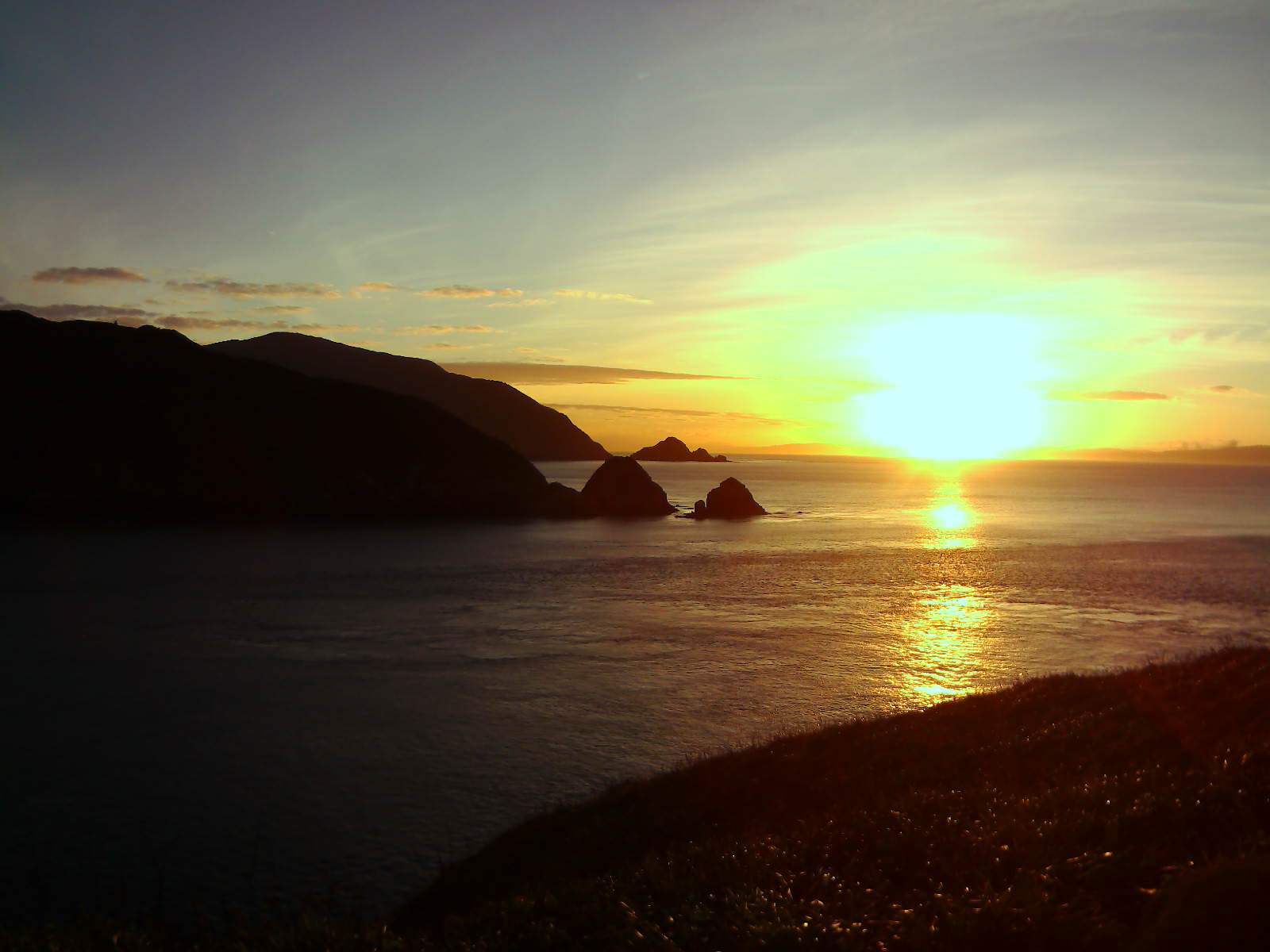
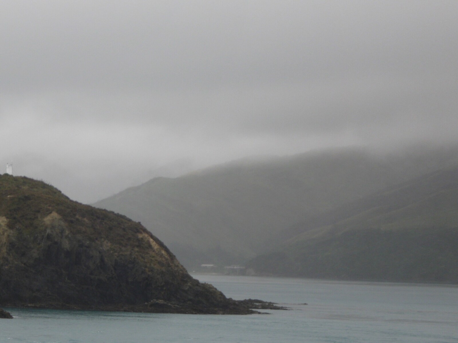
As the whaling operations grew, the station was moved to Fishermans Bay. At this time, the Perano family also started to use a lookout based upon West Head, or as it was to become known, Lookout Hill. The lookout was located about 55 metres above sea-level about 100 metres west of the West Head shipping beacon.5
Lookout Hill was where the Peranos and employees sat to watch for whales in the strait between May-August. Exposed to the weather, men would sit for hours at a time looking through binoculars.
Initially there was no shelter but eventually a hut was built to provide some protection from the wind. In addition a wooden floor, wood stove and a large glass viewing window were added.6
Evidence of the lookout hut remains.7
1. Hilary Mitchell and John Mitchell, Te Tau Ihu O Te Waka: a History of Maori of Nelson and Marlborough: Volume 1: Te Tangata me Te Whenua- the People and the Land (Wellington: Huia, 2004) 32, 261.
2. R Doreen Caygill, “The Te Awaiti whaling station: An essay on whaling in and around Cook Strait, New Zealand”, (University of Canterbury: 1948), accessed, September 18, 2018, https://ir.canterbury.ac.nz/handle/10092/7222 .
3. David A. Armstrong, “NZ King Salmon Plan Change: Heritage Report in Respect of Proposed Waitata Reach, Port Gore, Tory Channel and Queen Charlotte Sound Salmon Farm Sites” (NZ King Salmon, 2011), accessed, July 25, 2018, https://www.epa.govt.nz/assets/FileAPI/proposal/NSP000002/Applicants-proposal-documents/Appendix-17-Heritage-Report.pdf .
4. Don Grady, the Perano Whalers of Cook Strait, 1911-1964 (Wellington: Reed, 1982) 40.
5. Nigel Prickett, “the Archaeology of New Zealand Shore Whaling” (Wellington: Department of Conservation, 2002), accessed September 12, 2018, https://www.doc.govt.nz/our-work/heritage/heritage-publications/the-archaeology-of-new-zealand-shore-whaling/ .
6. Kirsty Johnston, “A Whale of a Tale”, Stuff, July 26, 2011, accessed September 12, 2018, http://www.stuff.co.nz/environment/whale-survey/5309075/A-whale-of-a-family-tale .
7. Prickett, “Archaeology of Shore Whaling”.