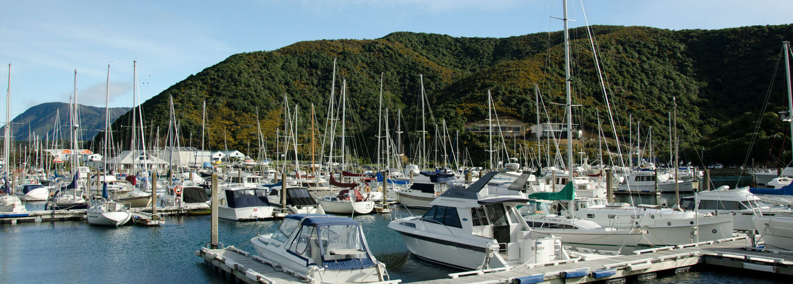

The Cruise Guide to the Marlborough Sounds is an interactive app and website showing marinas, anchorages, boat ramps, moorings, facilities, and other local information and images. Information is presented in map format, and includes satellite images and nautical charts.
The Cruise Guide stands out from traditional guide books because of its ability to incorporate user feedback, which is moderated by local experts and added to the knowledge base. This means the Cruise Guide's information will remain current, offering the type of information cruisers want, and can trust.
As you explore the bays of the Cruise Guide you will see the feedback form is available for you to provide location-based information. We welcome this feedback - reviews by cruisers help fellow boaties determine when to pull in, when to pass by, and when to use an anchorage.
IMPORTANT NOTE REGARDING NAVIGATIONAL USE:
The Cruise Guide is intended to be a general guide providing helpful information for boaties and visitors to the Marlborough Sounds. It is not intended for navigational use. Always navigate by reference to a current navigational chart or map.
(Refer also to the Terms and Conditions page for further information about the use of The Cruise Guide and this website.)