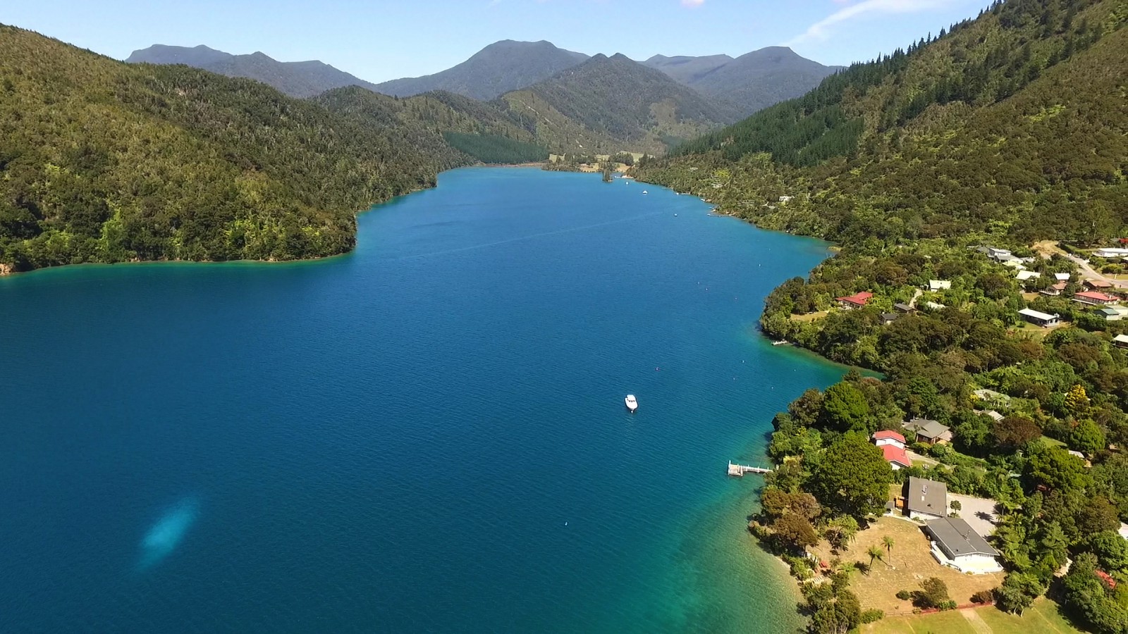
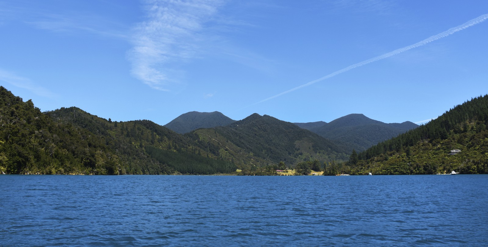
The main part of the bay tends to be extremely windy and acts as a wind funnel for all wind directions.
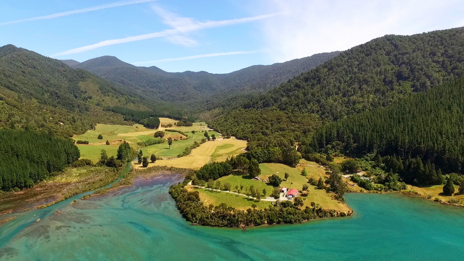
The head of the bay is shallow and covered with a large number of round boulders that were used as ballast and off loaded by sailing ships before these vessels loaded with timber.
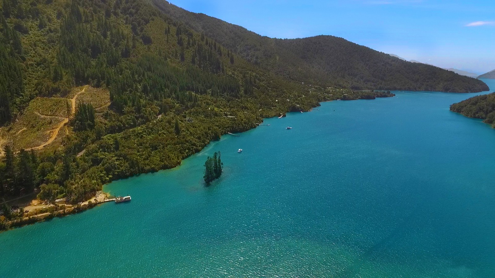
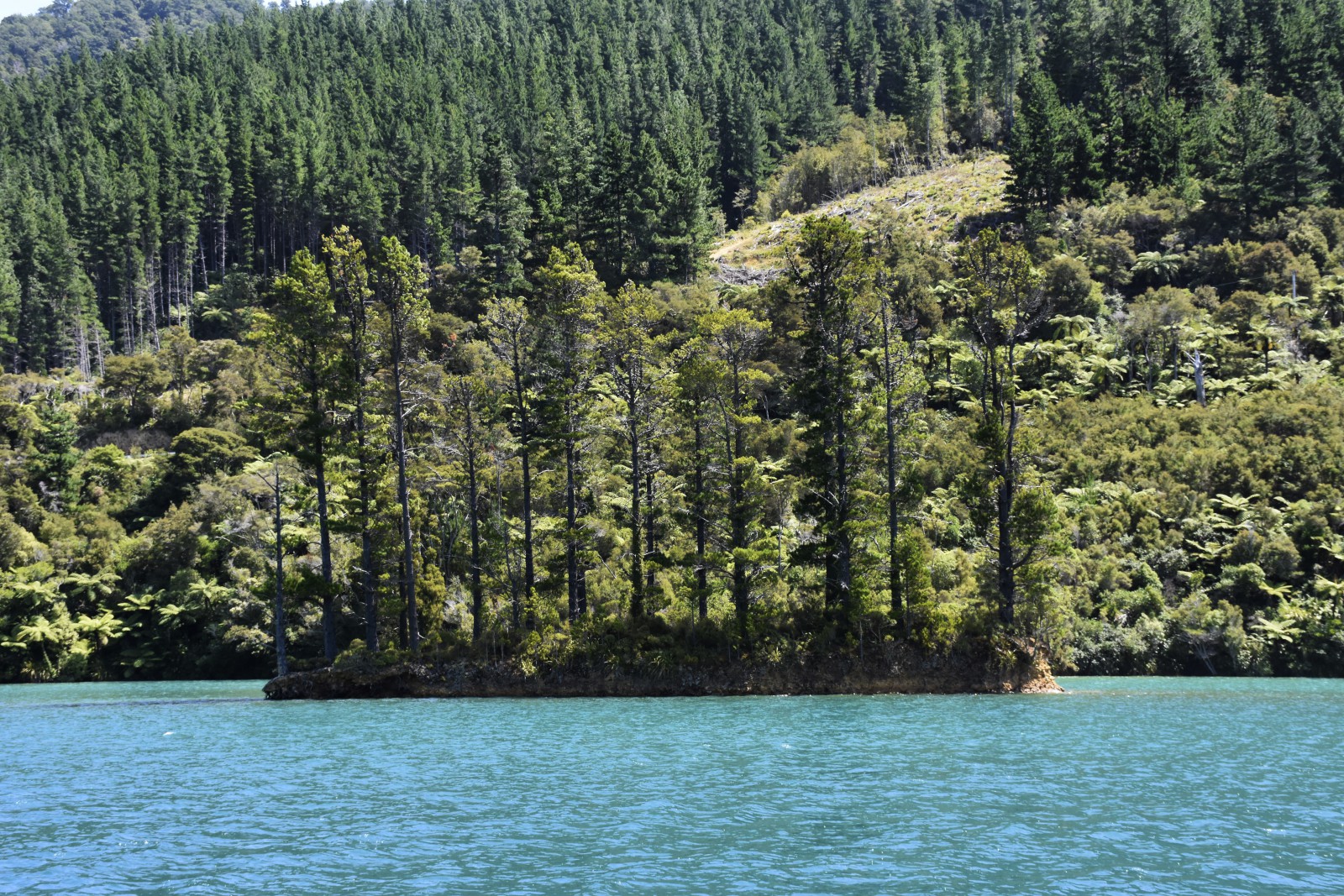
There is a wharf at the head of the bay and care should be taken when approaching the wharf, to stay in the area close to the island off the north-west shore.
The only suitable anchorage in this bay is on the south-east side, near the entrance.
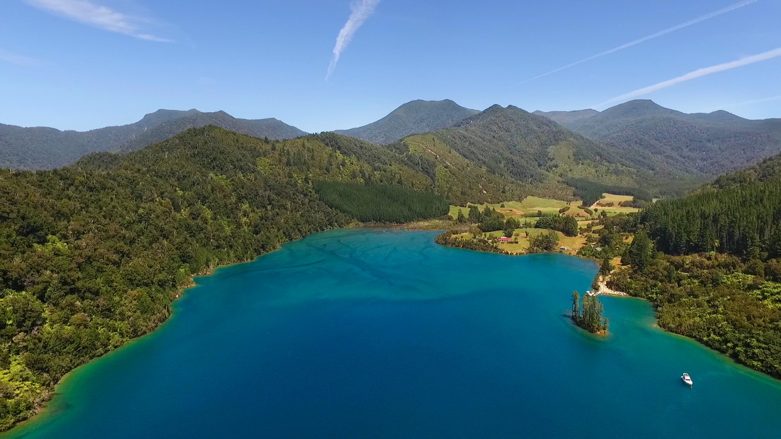
A small cove, known as Charley’s Bright, has a mooring laid in it, owned by the Mana Cruising Club.
This mooring provides perfect shelter for about five boats, which will need to be tightly rafted with lines to shore on all three sides.
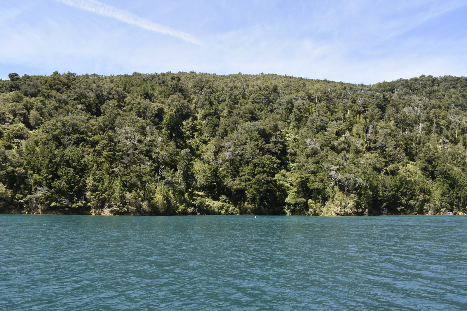
There are rocks beneath the surface on the south-western side of the bight.
