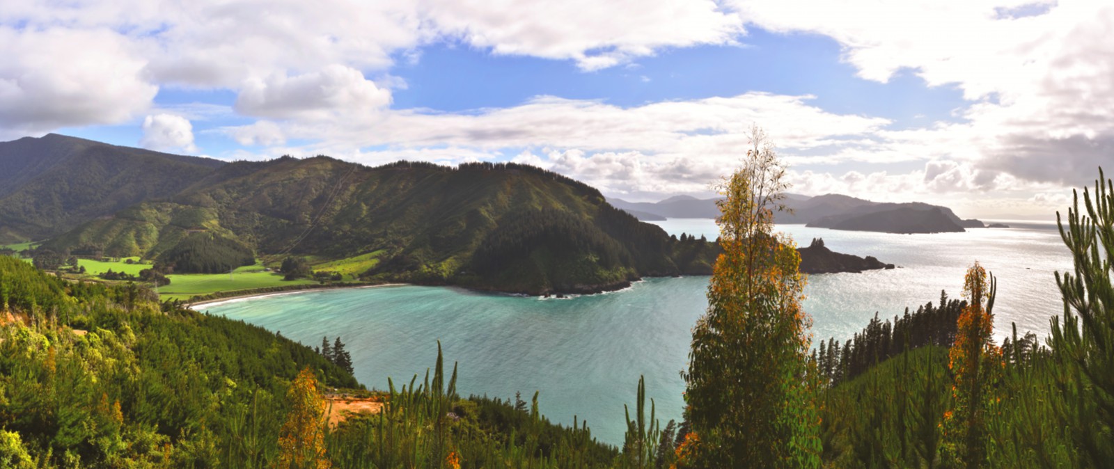
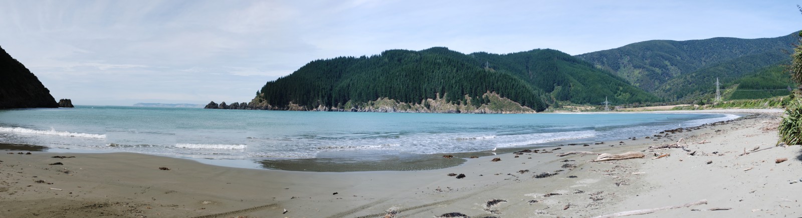
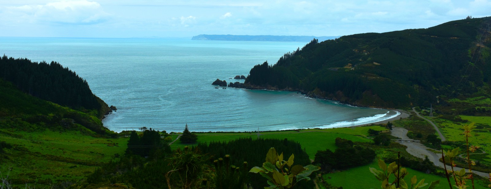
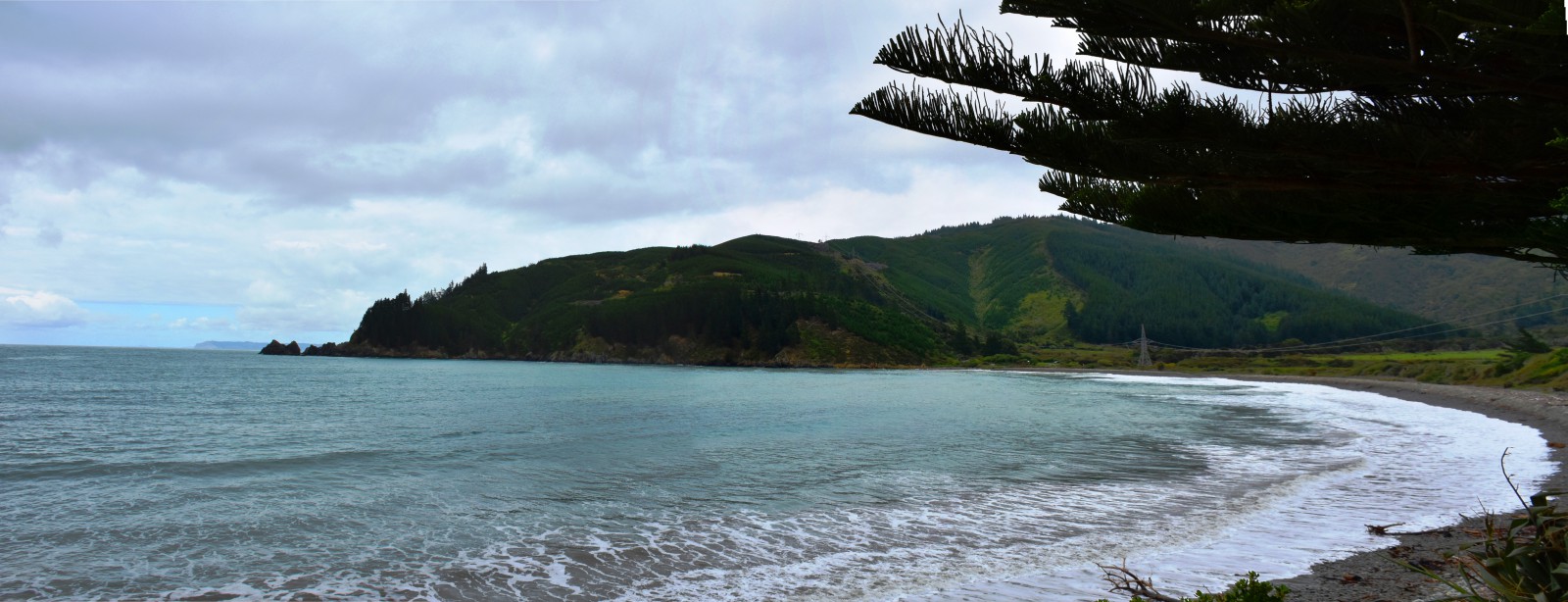
Since 2014, this bay has been officially recognised by the name, Waikutakuta / Robin Hood Bay.
This dual name is a result of respective Treaty of Waitangi settlements between iwi from Te Tau Ihu (tribes from the top of the South Island) and the Crown.1
The bay’s Māori name translates to water of the kutakuta.
Kutakuta is a plant, Eleocharis sphacelata, also known as the great spike rush or bamboo spike-sedge. It grows to one metre in height and is found throughout Aotearoa New Zealand in swamps. The soft hollow stalks of kutakuta are used in weaving.2
The source of the European name is unknown. It has been suggested the name comes from a bay close to Whitby on the Yorkshire coast in England near to where Captain James Cook was born.3
The bay has a long history of human occupation. An archaeological survey undertaken in the 1970s found evidence of low earthen walls and mounds on the flat land behind beach from prehistoric times. In addition there were remains of a large kumera garden.4
By the nineteenth century there was a large settlement of about 300 people in the bay known as Otauiru Pa. The pa was originally a settlement for the iwi, Rangitane o Wairau but was taken over by Ngāti Toa by right of conquest in 1829.5
Following the Wairau Affray in 1843, some of the surviving Ngāti Toa reassembled in the bay and buried their dead before leaving for North Island. Those buried included Te Rongo, the wife of the chief, Te Rangihaeata.
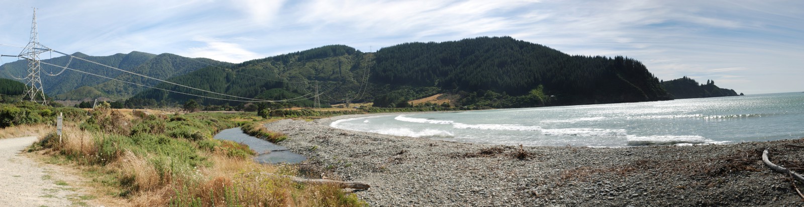
The bay was considered too exposed to the storms of Te Moana-o-Raukawa/ Cook Strait as a base for a whaling station but the whaler Captain George Jackson settled in the bay in 1849. Captain Jackson and his wife probably built and lived in the clay and timber cottage that still stands in the bay to this day.
The cottage has been designated a protected historic building by Heritage New Zealand and an information plaque stands nearby.
In 1881, Henry Stace bought the property. Born in England in 1847, Stace had been residing in Kaikoura for several years. During the mid 1880s Stace established a school in the bay for his family. Initially housed in the cottage built by Captain Jackson, the school rapidly attracted other children and the roll rose to 18. The school operated until 1917 when it merged with Ocean Bay School. In total, 163 children attended the school.6
During the Second World War a coast watching station was built on the ridge leading up to Robin Hood Point. The track to service the station led down into bay.7
Rangitane Bay is a small bay between Robin Hood Bay and Ocean Bay. It is rugged and exposed to the ocean. It may have been named for the iwi, Rangitane o Wairau.8
1. “Waikutakuta / Robin Hood Bay’, New Zealand Gazetteer, (Land Information New Zealand, 2019), accessed, March 27, 2019, https://gazetteer.linz.govt.nz/place/38596 .
2. “Kutakuta”, Te Aka Māori Dictionary, accessed, March 27, 2019, https://maoridictionary.co.nz/search?idiom=&phrase=&proverb=&loan=&histLoanWords=&keywords=kutakuta .
3. Loreen Brehaut, the Bays of Port Underwood, (Picton: Picton Historical Society, 2012) 2.
4. Michael M Trotter, Port Underwood Archaeological Survey, (Christchurch: Canterbury Museum, 1976) 10.
5. James R. Eyles, Place Names of Port Underwood - a post European History, (Picton: October Enterprises, 2002) 14-15.
6. Brehaut, ‘Bays of Port Underwood’, 2.
7. Eyles, ‘Place Names of Port Underwood’, 15.
8. Trotter, ‘Port Underwood Archaeological Survey’, 16.