This bay is named after the shellfish, pipi (Paphies australis). While a Māori name, it seems likely the name was given by Pākehā (non Māori) settlers.1
Pipi Bay, like the wider Te Whanganui / Port Underwood area has a long history of occupation. The iwi (tribe), Rangitāne o Wairau had settlements in the harbour until 1829, when by right of conquest, Ngāti Toa Rangatira became dominant.2 Māori used the area for collecting kaimoana (seafood) and for trade with whalers and settlers.3
The bay contains archaeological evidence of human occupation in the form of shell middens and flakes of pakohe (argillite), a stone that was used to make tools and weapons. Evidence of garden ditches and mounds is also present.4
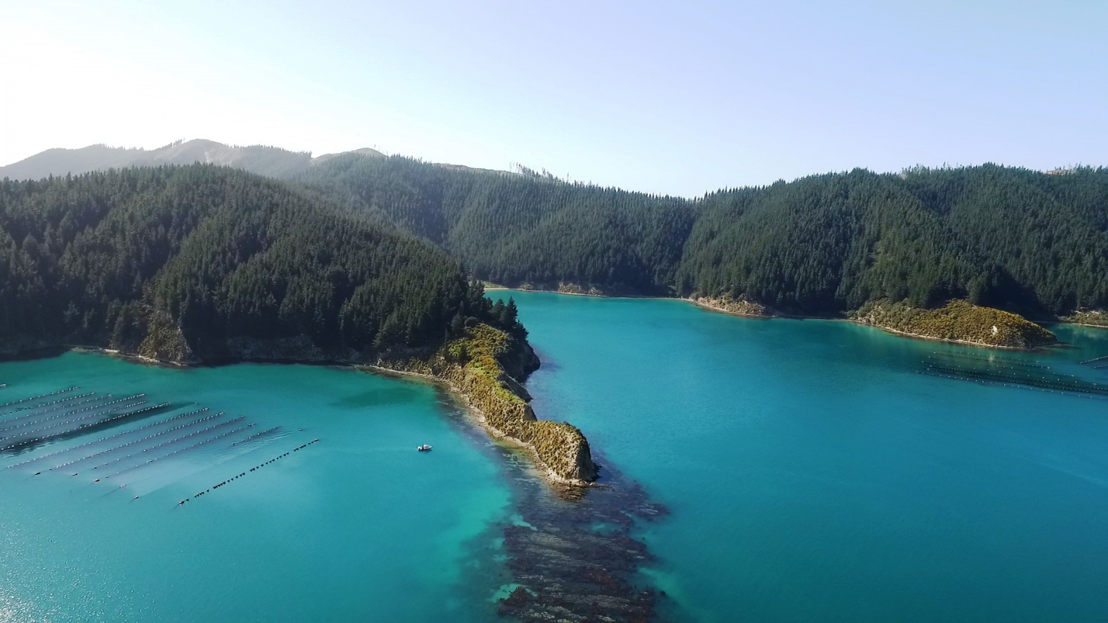
The bay is most well-known for the small island and pā (fortified settlement) in its middle.
The island, Horahora Kākahu, is located off a small peninsula known as Island Point. A small gap in the reef, known as the Passage, separates the island from the mainland.
The origin of the island’s name is uncertain but horahora means to spread out and kākahu means clothes or a cloak.5
The island is also called Turner Island on some older nautical charts.6
The pā on Horahora-Kākahu Island was probably established in the Sixteenth Century by the iwi Ngāti Apa.7 By the Nineteenth Century it was known by Rangitāne o Wairau as Horokaka Pā, after the New Zealand ice-plant (Disphyma australe).8
The pā was an important settlement with natural cliff defences and a palisade at vulnerable places. The defences are still visible as ditch and bank earthworks.9
The island is a significant historic site as it is the place where Major Bunbury and Captain Nias of the HMS Herald, proclaimed British sovereignty over the Middle (now South) Island on 17 June 1840. The event was marked by the raising of the Union Jack and a 21 gun salute.10
Earlier that day, nine local rangatira (chiefs) of Ngāti Toa Rangatira and Rangitāne o Wairau had signed the Herald (Bunbury) Sheet of Te Tiriti o Waitangi/ the Treaty of Waitangi at Kākapō Bay.11 Although several Māori leaders did sign the Herald (Bunbury) Sheet, just as elsewhere in the country, many other rangatira did not, fearing the loss of land and self-determination.12
In 1900 a macrocarpa tree (Cupressus macrocarpa) was planted on the island to commemorate the event. The island is now a historic reserve and in 1964 Heritage New Zealand erected a cairn and plaque on the site near the tree.13
The small bay between Kaikoura Bay and Pipi Bay is known as Killarney Bay. It was given this name by Jerome Flood in the late Nineteenth Century.14
1. H. A. H. Insull, Marlborough Place Names, (Wellington, A. H. & A. W. Reed, 1952) 56.
2. Loreen Brehaut, the Bays of Port Underwood, (Picton: Picton Historical Society, 2012) 5.
3. Marlborough District Council, Nelson City Council and Tasman District Council, “Te Tau Ihu Statutory Acknowledgements 2014”, accessed July 18, 2018, http://www.nelson.govt.nz/assets/Environment/Downloads/TeTauIhu-StatutoryAcknowledgements.pdf .
4. Michael M Trotter, Port Underwood Archaeological Survey, (Christchurch: Canterbury Museum, 1976) 16.
5. Te Aka Māori-English, English-Māori Dictionary and Index, accessed June 14, 2019, https://maoridictionary.co.nz/ .
6. James R Eyles, Place Names of Port Underwood: a Post European History, (Picton, River Press, 2002) 48.
7. Hilary Mitchell and John Mitchell, “Te Tau Ihu tribes - The migration from Hawaiki and beyond”, Te Ara - the Encyclopedia of New Zealand, accessed June 12, 2019, http://www.TeAra.govt.nz/en/photograph/547/horahora-kakahu-pa .
8. Eyles, ‘Place Names of Port Underwood’, 49.
9. Marlborough District Council, Nelson City Council and Tasman District Council, “Te Tau Ihu Statutory Acknowledgements 2014”, accessed July 18, 2018, http://www.nelson.govt.nz/assets/Environment/Downloads/TeTauIhu-StatutoryAcknowledgements.pdf .
10. “Horahora pa reserve plan”, New Zealand History, Ministry for Culture and Heritage, accessed June 18, 2019, https://nzhistory.govt.nz/media/photo/horahora-pa-reserve-plan .
11. Mitchell and Mitchell, “Te Tau Ihu tribes”.
12. “Cloudy Bay, 17 June 1840”, New Zealand History, Ministry for Culture and Heritage, accessed June 18, 2019, https://nzhistory.govt.nz/politics/treaty/location/cloudy-bay/17-june-1840 .
13. Nelson Historical Society, “Tua Marina and Port Underwood”, Nelson Historical Society Journal, Volume 3, Issue 1, (1974), accessed February 5, 2019, http://nzetc.victoria.ac.nz/tm/scholarly/tei-NHSJ03_01-t1-body1-d6.html .
14. Eyles, ‘Place Names of Port Underwood’, 48.