Te Weranga o Waitohi, the original name for Picton stems from wai, or water and tohi – the tohi rite. During the tohi ritual, the tohunga (priest) dipped karamu branches in a sacred stream and brushed the right shoulder of warriors before battle. The Waitohi Stream, which runs through the settlement, was used for this purpose before battle.1
Picton Harbour has a long history of human settlement and at least eight iwi (tribes) are associated with the bay, including Te Ātiawa o Te Waka-a-Māui, Rangitane o Wairau, Ngati Kuia, Ngati Apa, Ngati Toa, Ngati Koata, Ngati Rarua, and Ngati Tama.2
In 1828, Te Ātiawa o Te Waka-a-Māui migrated in to the area taking Tōtaranui / Queen Charlotte Sound from resident iwi and establishing mana whenua (territorial authority) over Picton Harbour by right of conquest.
At that time, the paramount chief, Ropoama Te One, established himself at Waitohi Pā, a fortified village located on the foreshore near the site of the current museum.3
Captain Steine, a Tasmanian flax trader, and probably the first Pākehā (non-Māori) to visit the harbour in 1832, noted that the settlement of Waitohi was home to approximately 200 people.4 Captain Steine named the harbour, Horne Bay, after the owner of his ship.5
In 1850, Waitohi was purchased from Te Ātiawa o Te Waka-a-Māui by Sir George Grey, Governor of New Zealand and Sir Francis Dillon, agent for the New Zealand Company, to provide a port for land recently purchased in the Wairau Valley. Waitohi was quickly identified as an ideal location due to its sheltered harbour and surrounding flat land.
The negotiations for the site took over two years to complete. They involved the relocation of the resident Māori population to the neighbouring bay of Waikawa.6
Initially Waitohi was renamed Newton Bay but by October 1859, when the town was gazetted, it was called Picton, after Sir Thomas Picton, a British Army general who fought at the Battle of Waterloo.7
Picton was the capital of Marlborough until 1867 when capital status was transferred to Blenheim.8
During the 1850s, Picton saw significant growth in population and industry. The Pākehā population increased from under 100 people in 1855 to approximately 800 by the end of the decade.9
The settlement begun servicing the antimony, copper and coal mines in the area as well as gold mining in the Pelorus Valley.10
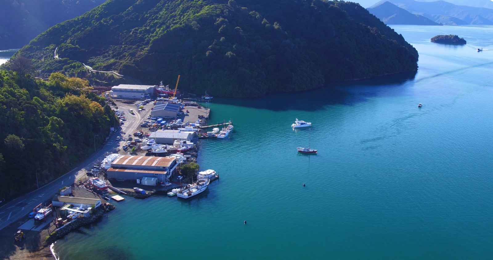
Fishing was also an important industry, and during this period there were generous fish stocks in Picton Harbour and the surrounding bays. A herring referred to as the Picton bloater was abundant at this time, and large hauls were taken from Picton Wharf. Canning and smoking operations were established in the area and operations on a smaller scale continued into the mid-Twentieth Century.11
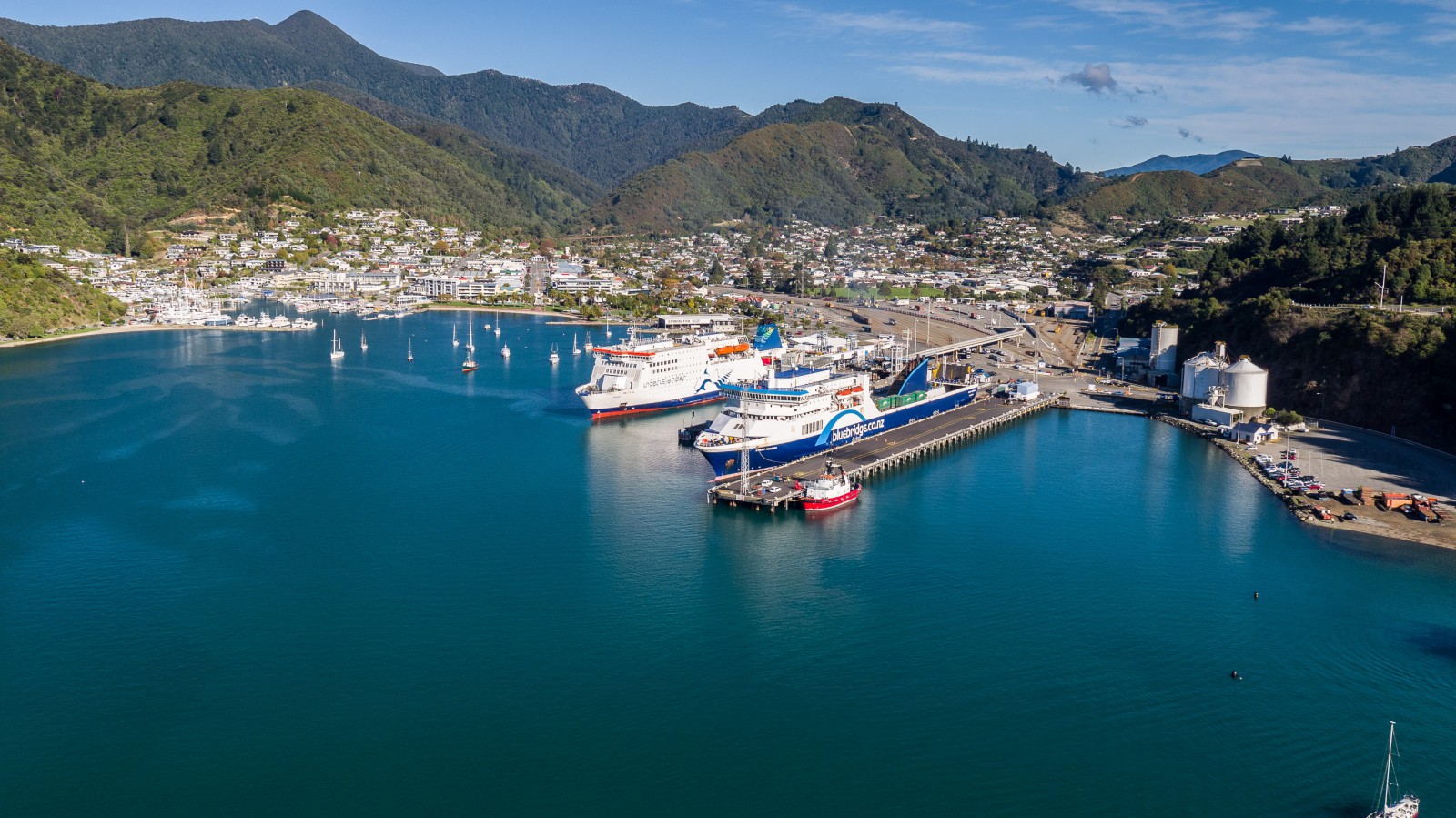
Picton was always an important transport hub. In 1875 the Union Steam Ship Company began to operate vessels from Picton carrying both freight and passengers.12
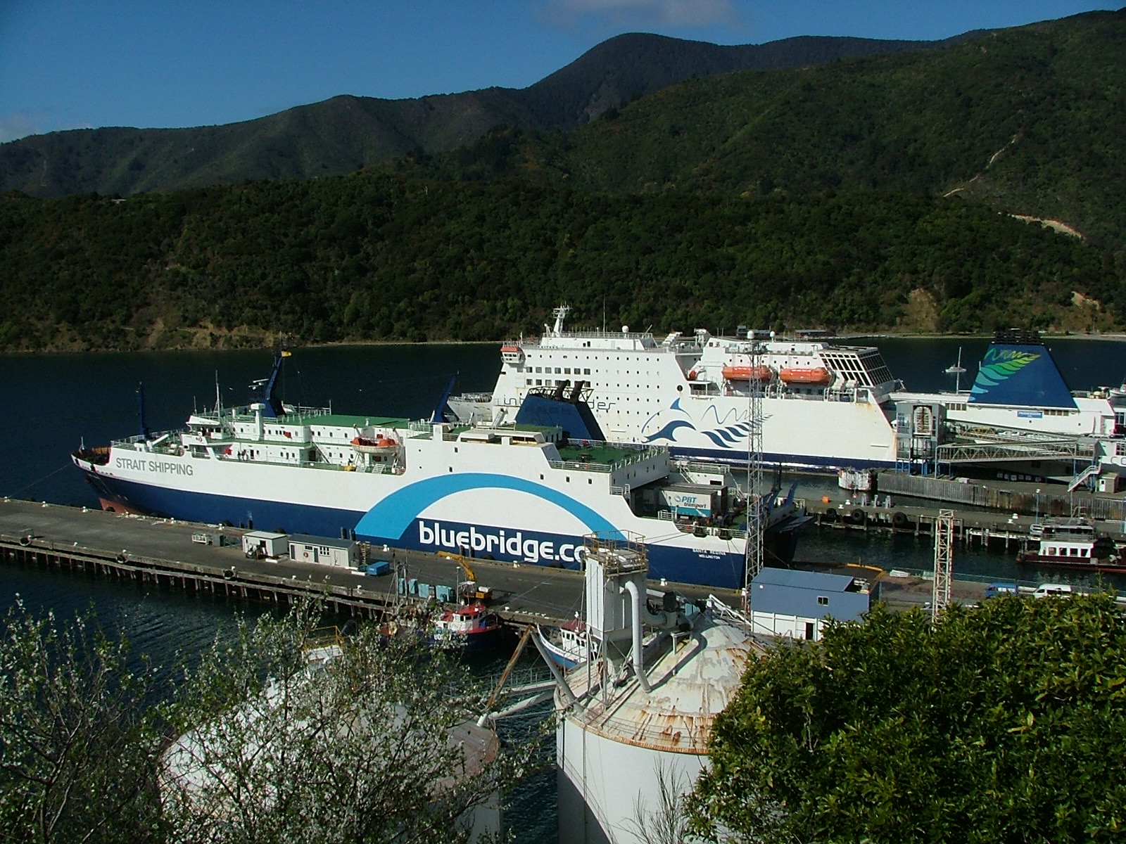
In 1967, the ferry service between Picton and Wellington was modernised by the arrival of the Aramoana, a roll-on roll-off ferry. This ship made it far easier for cars and rail freight wagons to cross the Cook Strait and significantly increased the number of vehicles and tonnes of cargo crossing between the islands.13
Between 1994 and 2005, fast ferries operated between Picton and Wellington. These catamaran ferries initially cut the travel time across the Strait but the increased wake produced by the ships caused ecological damage within the Sounds and Wellington Harbour. To minimise the environmental damage caused by the ferries, speed limits were reduced resulting in longer sailing times.14
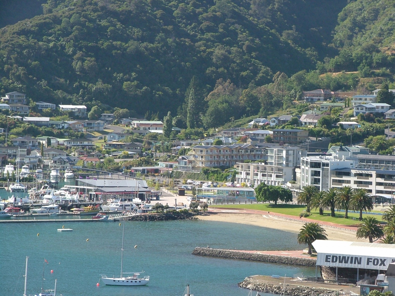
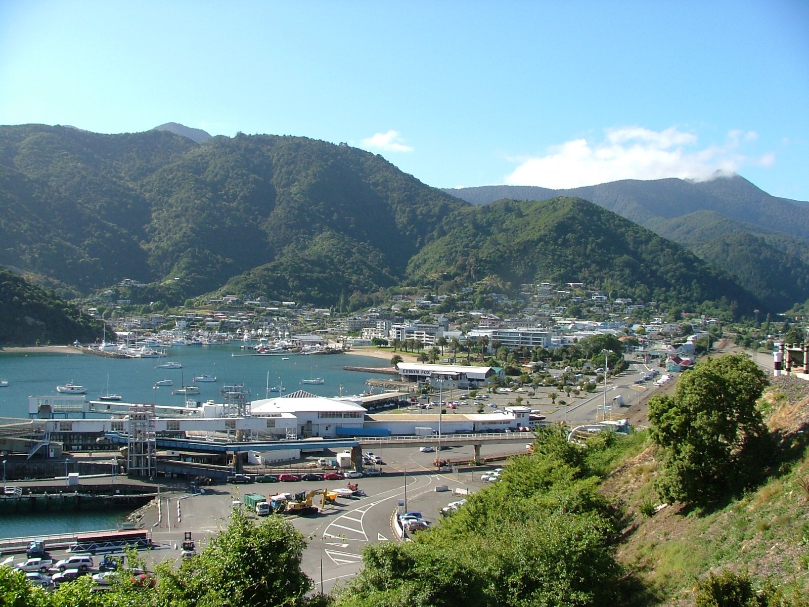
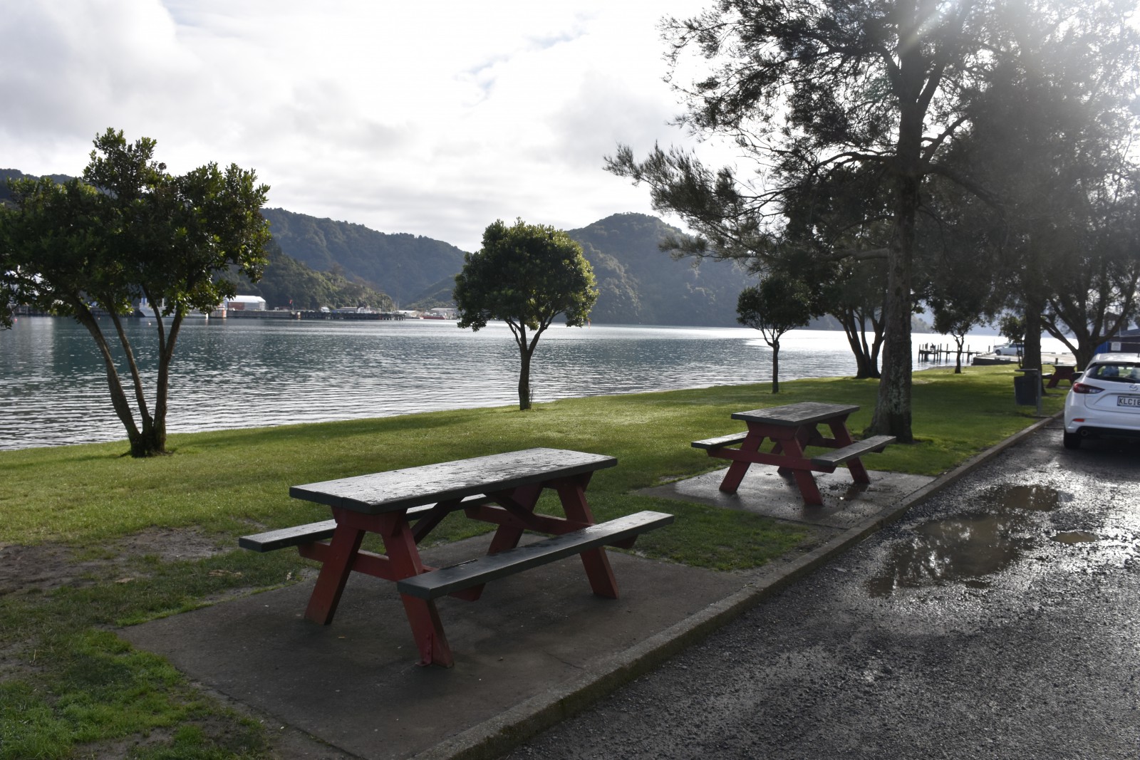
The Picton foreshore is a popular area with residents and visitors alike. Multiple beautification and revitalisation projects have been undertaken over time by residents.
In 1918 the foreshore was designated as a public reserve and a few years later the large palms still growing near the children’s playground were planted.
In 1925 the War Memorial Arch was built to honour local soldiers who lost their lives in the Frist World War. Plaques remembering the dead from subsequent wars, including the Second World War, have been added over time.15
Also located on the foreshore is the Edwin Fox, an example of the wooden sailing ships that brought immigrants to New Zealand.
The ship arrived in New Zealand in 1873 on first of four journeys carrying immigrants. Over the following decades it was to have several roles including becoming a freezer ship for the sheep industry and freezing works in Shakespeare Bay and finally being used as a coal hulk before being abandoned.
In 1986 the Edwin Fox Society relocated the ship to Picton to a site on the foreshore for preservation and built a museum and dry dock where the ship can be viewed.16
1. Te Ātiawa Rohe Management Office, “Waitohi and Waikawa Streams Characterisation Study, 2018”, accessed July 30, 2019, https://www.marlborough.govt.nz/repository/libraries/id:1w1mps0ir17q9sgxanf9/hierarchy/Documents/Environment/Waitohi_and_Waikawa_Streams_Characterisation_Study.pdf
2. E. Newcombe and O Johnston, “Picton Bays Environmental Information and Health Assessment, Cawthron Report No. 2805”, accessed, July 30, 2019 http://envirolink.govt.nz/assets/Envirolink/1606-MLDC-106-Picton-Bays-Environmental-Information-and-Health-Assessment.PDF
3. Te Ātiawa Rohe Management Office, “Waitohi and Waikawa Streams”.
4. Hilary Mitchell and John Mitchell, Te Tau Ihu O Te Waka: a History of Maori of Nelson and Marlborough: Volume 2: Te Ara Hou – the New Society, (Wellington: Huia, 2007) 32.
5. H. A. H. Insull, Marlborough Place Names, (Wellington: A. H. & A. W. Reed, 1952) 56.
6. Julie Kennedy, “Sir Thomas Picton (1758-1815) and the naming of Picton”, the Prow.org.nz, accessed July 23, 2019, http://www.theprow.org.nz/yourstory/sir-thomas-picton/#.XTbGG-gzbIU
7. Hilary Mitchell and John Mitchell, Te Tau Ihu O Te Waka: a History of Maori of Nelson and Marlborough: Volume 1: Te Tangata me Te Whenua- the People and the Land, (Wellington: Huia, 2004) 358-360.
8. Insull, ‘Marlborough Place Names’, 56.
9. Julie Kennedy, Chronology of Picton and Queen Charlotte Sound, (Picton, Picton Historical Society, 2009) 14, 16.
10. Marlborough Online, “Picton”, accessed July 30, 2019, https://www.marlboroughonline.co.nz/marlborough/information/geography/towns-settlements/picton/
11. Newcombe and Johnston, “Picton Bays Environmental Information and Health Assessment”.
12. Kennedy, “Picton and Queen Charlotte Sound”,21.
13. ‘Picton ferry Aramoana enters service, 11 August 1962’, New Zealand History, Ministry for Culture and History, accessed July 23, 2019, https://nzhistory.govt.nz/picton-ferry-aramoana-enters-service
14. 'Fast ferries on Cook Strait', New Zealand History, Ministry for Culture and History, accessed July 23, 2019, https://nzhistory.govt.nz/culture/cook-strait-rail-ferries/vomit-comets
15. Loreen Brehaut, Picton Foreshore Heritage Walk, (Picton: Picton Historical Society, 2009).
16. Marlborough District Council, “Marlborough Heritage Trails: Picton Heritage Trail”, accessed July 20, 2019, https://marlborough.maps.arcgis.com/apps/MapJournal/index.html?appid=bc40a83c8b4146609a0d2b3f71ea17fc