Cape Stephens

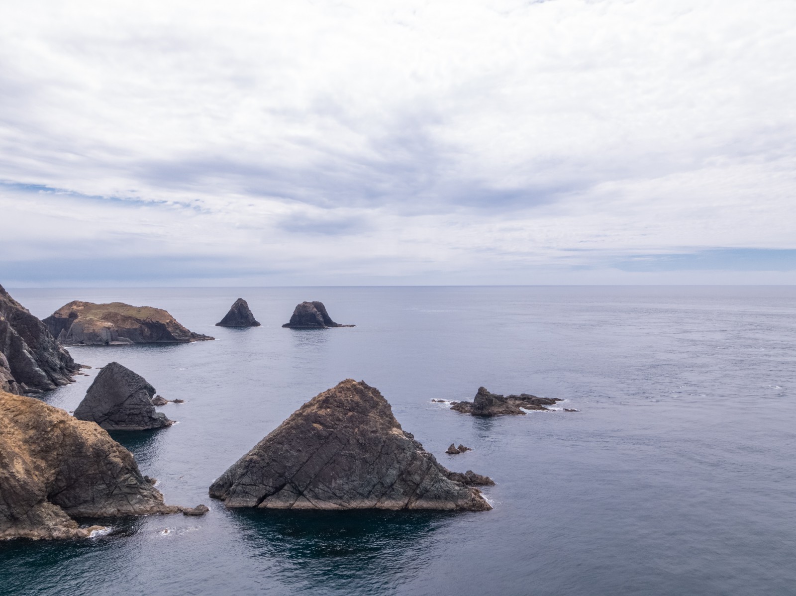
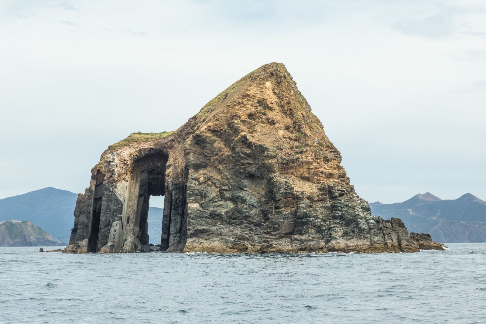
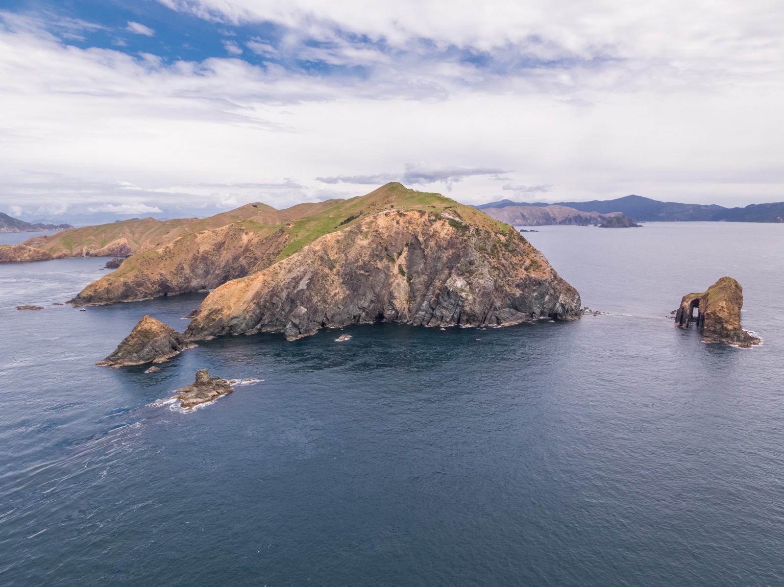
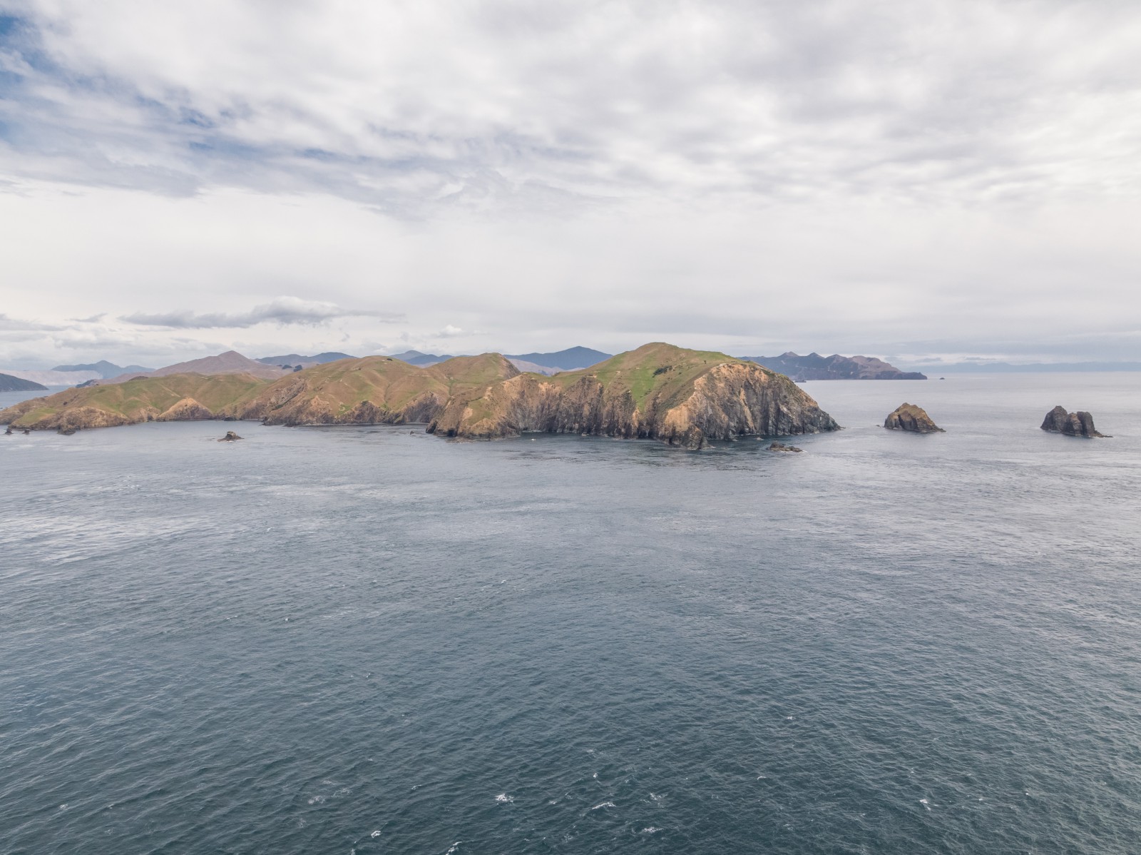
This is the northern most end of D’Urville and rises to a height of almost 200 m. The western part of the cape is joined to a steep island by a shingle spit. This island is separated by a clear passage, about 200 m wide, from two further islets called The Sisters. The passage usually has a strong tidal current through it and a tiderip across its eastern end. It is not advisable to use the passage under sail alone.

Stephens Passage between Cape Stephens and Stephens Island can be an extremely turbulent area with bad tiderips and overfalls. The passage should not be used in bad weather and can even be difficult in calm conditions if the tide flow is strong and there is any ground swell. The passage can be a trap particularly if travelling east with the ebb tide if there is a southerly ground swell, as on the Port Hardy side the sea is deceptively calm.

The passage should be used either at slack water or with wind, ground swell and tidal stream in the same direction. It is best to travel close to the eastern shore of Cape Stephens from Hells Gate to Billlhook Bay. This route quickly leads out of the tide rips and overfalls and avoids the turbulence near Saddle and Tower Rocks.

The tide streams flow to the east with the ebb and to the west with the flood and change at about the same time as local low water and high water.

Videos / other media

History

Captain James Cook named this point, Cape Stephens on the day he departed New Zealand, 31 March 1770. It was named after Sir Philip Stephens the Secretary of the Admiralty Board.1

The cape is surrounded by rocks and rough seas, the features of which are named for a Māori oral tradition, the Legend of Pani.

In approximately 1350, Kupe, the great Polynesian navigator and explorer visited the Marlborough Sounds. Gathering food and supplies for his ongoing expeditions he based himself and his followers at the Chetwode Islands. During this period, Kupe went to the mainland to snare birds, leaving his crew behind to continue gathering seafood. During Kupe’s absence, some of the crew, including a man named Pani decided to leave the expedition. Upon his return, Kupe was angry and chased Pani and his family through Te Aumiti / French Pass up the west coast of Rangitoto ki te Tonga / D’Urville Island. Pani realised Kupe was in pursuit and recited a karakia (prayer) to make the sea behind his waka (canoe) rough. Pani, with his two daughters and a slave, travelled around Cape Stephens where they struck a tidal rip in the passage, the waka (canoe) capsized and all drowned. Kupe’s trip was delayed by the rough seas but he successfully navigated them and caught up with Pani in time to witness the tragedy.

In memory of Pani, Kupe named the stretch of sea at the base of Cape Stephens, later known as Bishop’s Cauldron and Hell’s Gate by the Europeans, Nga tai whaka hoki hoki a Pani, or the wild seas which caused Pani’s canoe to overturn and drown everyone aboard.

A large rock split down the middle became, Nga-Tamahine-a Pani in remembrance of the two daughters. Other rocks in the area were named for the overturned canoe, Te Waka-a-Pani and after the slave, Te Mokai-a-Pani.2

In a cave nearby, named, Te Ana a Pani, Kupe trapped Pani's spirit forever. A loud moaning noise can be heard when tides surge into the cave, this sound is said to be the sound of Pani's eternal grief over his downfall.3


1. “Cape Stephens”, New Zealand Gazetteer, (Land Information New Zealand, 2018), accessed, September 27, 2022, https://gazetteer.linz.govt.nz/place/17975 . 

2. Olive Baldwin, Story of New Zealand’s French Pass and d’Urville Island (Plimmerton: Fields Publishing House, 1979) 9, 144-145.

3. Hilary Mitchell and John Mitchell, “Kupe and the Boulder bank”, The Prow.org,nz, accessed, July 3, 2018, http://www.theprow.org.nz/maori/kupe-and-the-boulder-bank/#.Wzqs39IzbIU .

More...